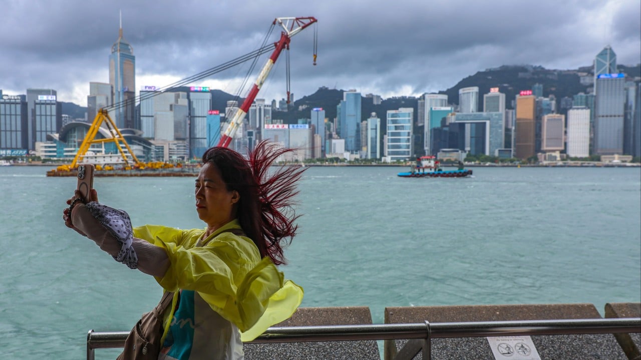
Hong Kong’s weather forecaster will issue the No 3 typhoon warning signal between 12pm and 2pm on Saturday, as strong winds from a severe tropical storm are expected to intensify later.
Severe Tropical Storm Wutip, the Cantonese word for “butterfly”, has entered within 800km (497 miles) of Hong Kong, but it is expected to make landfall later in the day.
At 8am, it was estimated to be about 590km west-southwest of the city and is forecast to move northeast at about 18km/h (11mph), across Beibu Wan and towards Leizhou Peninsula.
“Its outer circulation brought squally showers to the coast of Guangdong. Wutip is expected to make landfall over Leizhou Peninsula [on Saturday]. It will then move across the vicinity of the boundary of Guangdong-Guangxi,” the Hong Kong Observatory said.
“The strong winds associated with Wutip are expected to gradually prevail over the vicinity of the Pearl River Estuary. Winds will strengthen over the territory later [on Saturday], and up to gale force on high ground,” the forecaster warned, adding it would issue the No 3 signal between noon and 2pm.


