The images were taken by the Tianwen-2 spacecraft’s narrow field-of-view navigation sensor on May 30, according to the China National Space Administration (CNSA), which released them after image processing on the ground.
This comes days after state media reported that researchers in northeastern China were testing autonomous robots in underground lava caves to simulate the terrain these may explore during future lunar missions.
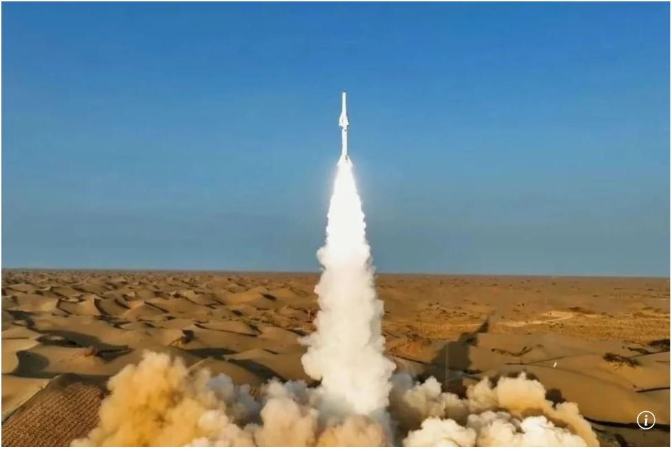
The Tianwen-2 spacecraft has been in orbit since it was launched from the Xichang Satellite Launch Centre in southwestern China on May 29.
The probe was orbiting at a distance of more than 12 million kilometres (7.5 million miles) from Earth and was in “good working condition”, CNSA said in a news release on its website on Tuesday.

The first image of the Earth was taken when the spacecraft was 590,000km from the planet, and the image of the moon was taken several hours later at a similar distance from the lunar surface.